
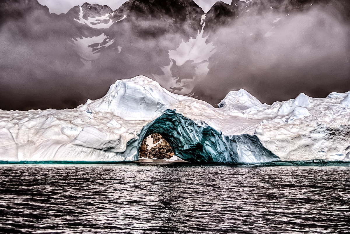

Leaving the ghost village of Ikateq behind, we sailed deeper into the frozen void of East Greenland. Our next destination was the remote, inhabited village of Tiniteqilaaq. To reach it, our tiny boat began an epic journey along the Sermilik Fjord, an astonishing channel often referred to as one of the least explored slices of our world.
Tiniteqilaaq, at the edge of the known world
This desolate coastline, where seals and bears outnumber humans, presents an awe-inspiring challenge. In winter, the fjord freezes solid, allowing ventures deep inside by sledge. Yet, the extreme cold and the absolute lack of resources limit how far any traveller can safely venture.
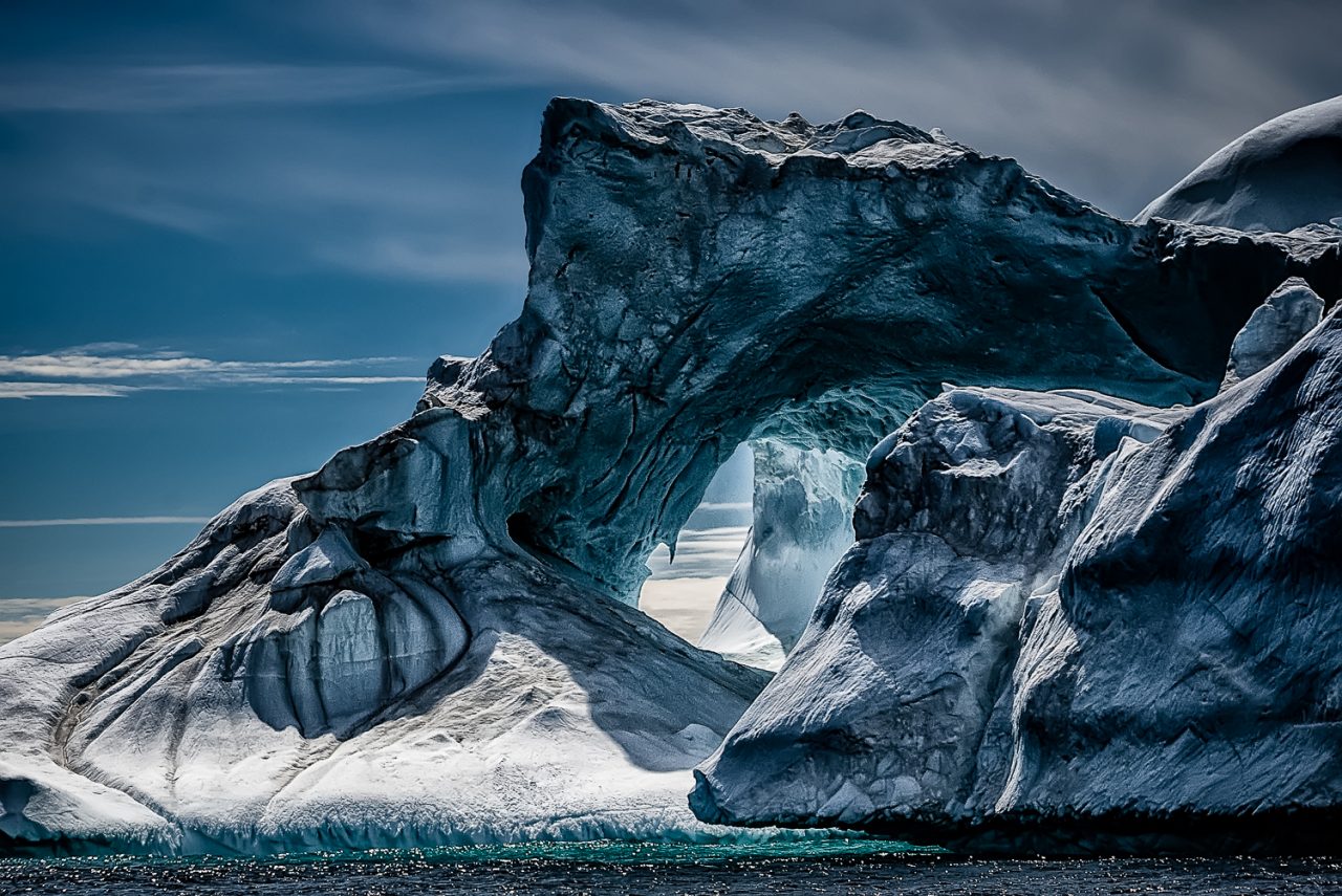
In summer, when the great thaw comes, navigation becomes possible in the widest parts of the fjord. Nevertheless, the passage remains treacherous. Cabotage is still extremely difficult because of the vast number of icebergs—of every imaginable size—adrift in a relatively small space. Only small, agile boats like ours can achieve the manoeuvrability needed to navigate these icy waters.
And it takes a sailor like Agloolik, our Inuq captain.
He’s accustomed to using his instincts to locate prey to hunt and avoid all the dangers of the hostile environment in which he lives. Agloolik sails at full throttle, zigzagging between these mountains of ice, brushing them often. Nevertheless, he always finds the way in the maze of icebergs and fog, where you can not see the open sea, and the coast often vanishes entirely from sight.
Huge municipalities and icy divides
We are sailing along the southern edge of the “Land of King Christian IX” in the territory of the second-largest municipality in the world: Sermersooq.
And if the name does not tell you anything, you are doubly justified. You probably neither know the names of the towns that merged to create this immense administrative monster: Ammassalik, Ivittuut, Paamiut, Nuuk, and Ittoqqortoormiit. In 2009, an administrative reform in Greenland reduced the number of municipalities, merging them into new units..
An Area Larger Than Spain
Semersooq has an area of 531.900 km², greater than the size of Spain. Nuuk – the capital of Greenland, on the west coast, facing Canada – and Tasiilaq on the Eastern coast, facing Iceland, are now part of the same municipality. Between the two towns, there are no roads. Only seven hundred kilometres of ice sheet. Consequently, the only connection is air travel: the flight between the two locations takes two hours, making it the first municipal flight in the world!

Sermilik Fjord
Sermilik Fjord collects the flow of ten glaciers. They are all terminal tongues of thenlandsis, the endless desert of ice covering over eighty per cent of the surface of Greenland. One of these glaciers is Helheim. It’s kept under close observation by scientists because it started to retreat quickly and at an increasing speed. In recent years, the face of the glacier has retreated by more than seven kilometres, receding at a speed of about 35 meters per day.
The melting of the glacier increases the production of icebergs, which end up in the Sermilik fjord. But it also decreases the burden on the Earth’s crust. The volume of ice resting on Greenland is immense. Its weight caused a lowering of the island, which literally sank into the earth’s crust. But if the ice starts to melt, it will happen as if we remove weight from a raft floating on water: its edge will rise. The consequences are earthquakes and tsunamis.

Into the frozen void, the bottom of Sermilik Fjord
In the winter of 2003, a tsunami struck the bottom of the Sermilik fjord, where it ended in the immense glacial tongue of the Midgard glacier.
An earthquake and waves caused the splitting of the tongue of the glacier.
It flowed into the sea, causing a second tsunami and uncovering – for the first time in thousands of years – the bottom of the valley.
But the place is so remote and inaccessible that even the Inuit didn’t realize what had happened. Midgard glacier – in fact – is one of the few still unexplored places on Earth. His terminal tongue is practically unattainable from the land or from the sea. The huge chunks of ice that continuously detach from the glacier and fall into the water create big waves and can easily destroy a large ship.
But we are in the time of GPS and satellites. From satellite photos, the scientists realized what had happened before the glacier covered again that stretch of the valley.
The arrival
We go up the fjord for about thirty kilometres between white, blue, green, and brown (yes, there’s also the dirty ice) icebergs until we get to Tiniteqilaaq.
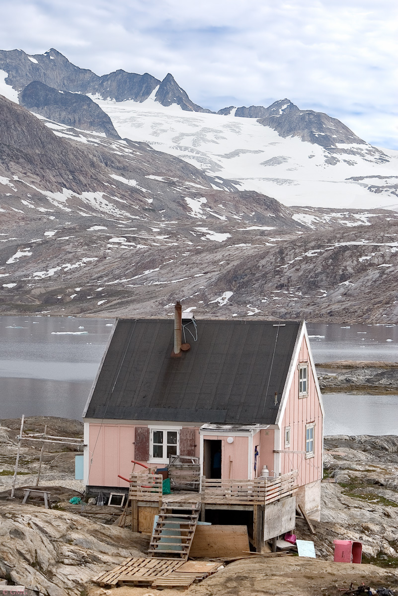
The tiny settlement of Tiniteqilaaq is perched on a rocky hill, protected by the larger Sarpaq island, which deflects the worst of the Arctic storms. From this spectacular vantage point, the sheer density of icebergs in the Sermilik Fjord becomes visually overwhelming. The community is truly remote, reachable only by boat through the treacherous waters of the fjord or by snowmobile in winter. It’s a village of 153 inhabitants who live essentially on hunting and fishing: seals, polar bears, and salmon.

This is the final destination of the young couple who travelled with us. Now they collect their luggage, greet and leave the boat, walking, with an incongruous trolley, along the steep sandy road that climbs to the top of the hill, flanked by the typical colourful wooden houses. Other houses are scattered along the rocky coast and around the open space that serves as a heliport. From here, there is a wonderful view over the Sermilik fjord, the glaciers and the iceberg. From time to time, you hear the crash and thump that baptise every new iceberg’s birth.

Did you like this story?
Subscribe to my newsletter for new photographic stories and travel tales delivered straight to your inbox.
I only write when I have something meaningful to share.
No spam, ever
Want to explore more Greenland photography? Check out my dedicated gallery here!
Breathtaking!
Wow – stunning.